Local Ride Info
Explore Our Community By Bike
There are a variety of paved multi-use paths in the area. There are bathroom facilities, water fountains, and trail markers available on these routes. Bike maps are available at our rental desk, and feel free to ask for advice on what trail would best suit your needs! All the paths are easily accessible from Olympic Bike Shop.
Paved Bike Paths
Truckee River Path
The most popular path follows the Truckee River to Squaw Valley for 8 miles, and is relatively flat. This is a great ride for casual cyclists, families, and folks wanting to take it easy.West Shore Path
This route follows the West Shore of Lake Tahoe, ending at Sugar Pine State Park, 12 miles from Tahoe City. This path is more strenuous, includes detours through quiet residential neighborhoods, and crosses Highway 89 several times. There is a section in Homewood where the bike path is not yet finished; riders are required to share the highway with a minimal shoulder. However, the end of the trail is well worth it. You’ll find a state park with lots of grass, beautiful beaches, and a public pier.Dollar Hill Path
A shorter multi-use path travels from the north end of Tahoe City to the top of Dollar Hill, and is a popular way to get to and from town. This trail provides good access for off road riding. For a detailed map — CLICK HERE!Road Biking
There are few paved roads in the area that are free from traffic, but we know where they are, so ask! Riding around the lake is about 72 miles, with approximately 4000 feet of elevation gain along the way. However, there are not dedicated bike lanes on all sections of the road, and the traffic can be fast-paced and intense. If you are going to ride around the lake, we recommend that you plan your trip on Saturday or Sunday (the best), as early as possible, and ride in a clockwise direction. Please call for more specific information on road riding.
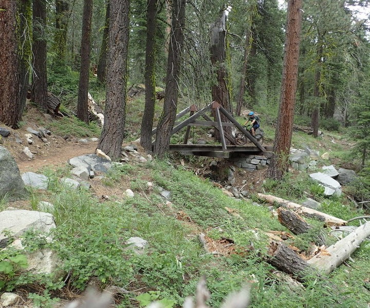
Mountain Biking
Lake Tahoe is rightly famous for the incredible mountain biking available in the area. From the world famous Flume Ride to the experts-only sections of the Tahoe Rim Trail, Olympic Bike Shop staff can direct you to the trails that you will love to ride. We also have maps, shuttle information, tools, and everything else you will need to have a great day on the trails.
Top Mountain Bike Trails Near Tahoe City
For more detailed information about these and other local trails, inquire with our staff. We also highly recommend Jeremy Benson’s Mountain Bike Tahoe: 50 Select Singletrack Routes.
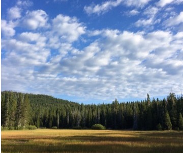
Page Meadows
An easy, short loop from Tahoe City. Perfect if you are new to mountain biking in Tahoe or short on time. A brief climb up a fire road will lead you to a quiet meadow with views of Twin Peaks. The Tahoe Rim Trail (TRT) allows for a fun descent back into Tahoe City.
This ride can be extended by adding an out and back to Scott Peak.
- Length: 8 Miles
- Difficulty: Easy
- Directions
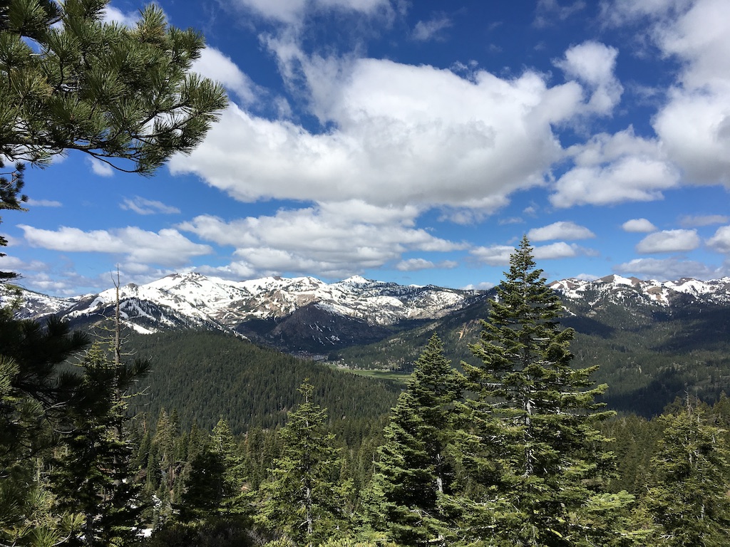
Glass Mountain Thunder Cliffs
A little bit of everything! This ride has some fast flowy sections, some tough technical sections, and amazing views of the lake!
Extend this ride about 4 miles by including Painted Rock.
- Length: 9 Miles
- Difficulty: Advanced
- Directions
- Directions including Painted Rock
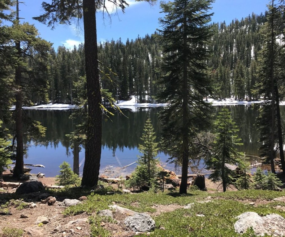
Photo by Todd Schindler
Mount Watson Trail
There are a variety of trail options around Mount Watson. Described below is a suggestion of an advanced loop trail offering challenging climbs and descents. It connects a variety of trails but the rewards of views from atop Mount Watson make the pedal worthwhile. It can be quite hot in the summer, so bring plenty of water.
- Length: 22.9 Miles
- Difficulty: Expert
- Directions

Walternate/Western States Trail
A moderate and somewhat rocky climb leading to a steep and entertaining, but technical downhill (Missing Link Trail) then a smooth, fast and flowy downhill (Western States Trail) ending at the Truckee River.
- Length: 12.5 Miles
- Difficulty: Advanced
- Directions
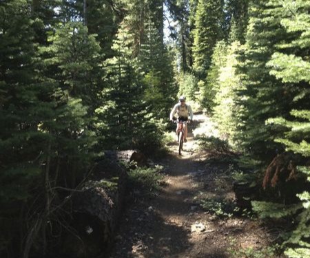
Photo by Nick Wilder
Scott Peak
Big climb and descent ride that takes you through Page Meadows to the top of Lakeview chair at Alpine Meadows Ski Resort. This dog friendly trail is 90% single track and 10% double track with a 2290 elevation gain. The final 0.5 miles is the steepest and most technically challenging. Reward yourself at the top with views of Lake Tahoe, Ward Valley, and Alpine Meadows Ski Resort.
- Length: 17 Miles out and back
- Difficulty: Moderate
- Directions
Big Chief Trail
The Truckee Trails Foundation worked with the USFS and Northstar California on a 7-mile non-motorized trail connecting the southern tip of the Sawtooth Trail up to Watson Lake and the Tahoe Rim Trail. Construction was completed in fall of 2018. This ride can be done from Tahoe City, but it's a big ride. For a shorter ride it's best to park at the Sawtooth trailhead in Truckee.
- Length: 15 miles from Sawtooth. 32 miles from Tahoe City
- Difficulty: Advanced
- Directions from Sawtooth trailhead
- Directions from Tahoe City
Stanford Rock Trail
Not for the faint of heart. A very long (6 mile), steep (2168 ft), relentless (not kidding) climb to amazing views of Lake Tahoe and the Pacific Crest. This trail was recently rerouted and is now almost entirely single-track! Thanks TAMBA!
- Length: 17 Miles
- Difficulty: Advanced
- Directions
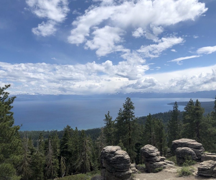
Photo by Jenna Reyes
Mount Baldy Out & Back
A strenuous and and technically difficult singletrack ride along the Tahoe Rim Trail (TRT) with spectacular vistas of Lake Tahoe. This dog friendly trail is 90% singletrack and 10% doubletrack with a 2,720 foot elevation gain. The trail features very technical rock gardens, short and steep sections, sharp switchbacks, a meadow of mule-ears, and one of the longest sustained descents on the entire TRT. Don’t forget your camera.
- Length: 14.3 Miles out and back
- Difficulty: Advanced
- Directions
General Creek Trail at the Lily Pond intersection. Photo by S. Lengyel
General Creek Trail
General Creek Trail is a shorter out and back trail departing south of Tahoma from Sugar Pine Point Campground west towards Richardson Lake Trail. The beginning of the trail is beginner-friendly on North Fire Road. As you continue on to the main singletrack part, the trail gradually becomes more advanced. The western end of the trail presents many technical features such as rock gardens, stairs, and steep loose climbs. Enjoy the view beautiful wildflowers in the spring and early summer months and the option to visit a pond or two.
FUN FACT: The eastern side of the trail (near the campground) was part of the 1960 Winter Olympic Cross Country Ski and Biathlon course.
- Length: 5.5 Miles out and back
- Difficulty: Moderate
- Directions
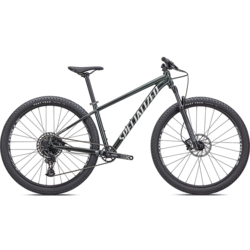
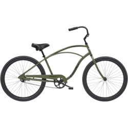
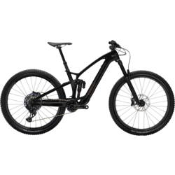
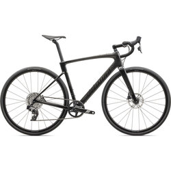
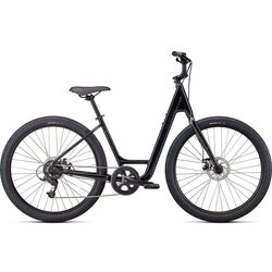
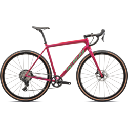
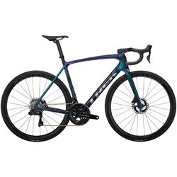
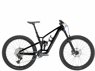
Get the Gear You Need
Shop for the perfect bike before your next ride. We’re here to answer all of your cycling related questions.